|
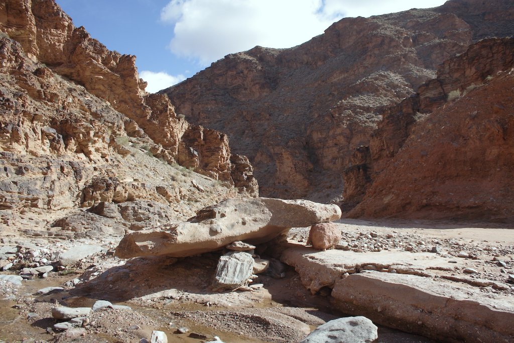 |
| The road to Aouli, a dry river | |
| Latitude: N 32°48'37,65" | Longitude: W 4°37'2,07" | Altitude: 1172 metres | Location: Tazensout | City: Midelt | State/Province: Meknès-Tafilalet | Country: Marokko | Copyright: Ron Harkink | See map | |
| Total images: 23 | Help | |